
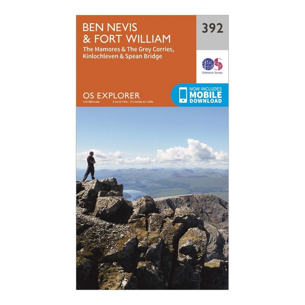
Ben Nevis & Fort William Map | The Mamores & the Grey Corries, Kinlochleven & Spean Bridge | Ordnance Survey | OS Explorer Map 392 | Scotland | Walks | Hiking | Maps | Adventure
H**D
OS maps are incredible.
Everything is there for hiker to enjoy a great walk, just make the effort to understand everything that is on them.They will save your life in an emergency.
F**
Great
Useful super useful
N**L
Useful on climb of Ben Nevis - digital version also a bonus
Always good to have the feel of a real map - digital version a nice extra for pre-planning, but paper version is always the best when security of ability to read is required (digital not great when going up a mountain!)
A**Y
Good map
Does the job
G**R
Map
Grand
N**E
Is what it is !
Perfect
S**N
Good value
Map perfect for my walking perfect I can use app also
W**S
I'm already deeply committed to ViewRanger (having bought numerous area maps) but if I were starting from scratch the free mobile download for OS Maps is a nice touch.
I use the OS 1: 25,000 maps on ViewRanger on my phone, but would never do any serious walk without a paper map as back-up (e.g. if phone battery fails). I'm already deeply committed to ViewRanger (having bought numerous area maps) but if I were starting from scratch the free mobile download for OS Maps is a nice touch.
P**R
Good walking map. Has the neccesary details
Good map. All the neccessary details where on it.It's a paper map, I rather had it in plastic (wheater/rain prove)
Trustpilot
3 days ago
5 days ago